
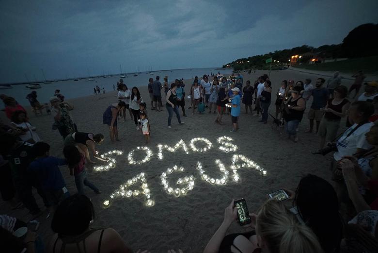
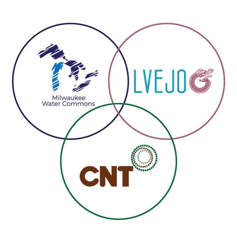
Little Village Environmental Justice Organization (LVEJO), an environmental justice (EJ) organization based in the Little Village neighborhood, and Center for Neighborhood Technology (CNT), a research and data analytic planning organization in Chicago, are creating a Geographic Information Systems (GIS) 101 Toolkit for EJ organizations to help them conduct basic mapping and analysis. Throughout toolkit development, the Milwaukee-based EJ organization Milwaukee Water Commons (MWC) is testing to ensure clarity, quality, and relatability of the text by using it to guide the mapping of priority areas for their Branch Out Milwaukee Campaign, which aims to increase urban tree canopy. Each organization has committed to using an authentic collaboration approach to this work to develop a community-informed and beneficial product.
Why is authentic collaboration important?
Development of this toolkit is only made possible through authentic collaboration between the three organizations: two EJ organizations and one technical partner. We define authentic collaboration as an approach that respects the time, expertise, and priorities of all three organizations. Historically, EJ organizations have experienced poor treatment by non-community based partners who adhere to a narrow scope and/or timeline that drains EJ organizations of their resources and produces little benefit to their communities or partners. An authentic collaborative approach aims to grow capacity among each organization to develop necessary skill sets for equitable program outcomes and policy changes for a more just society.
To guide our collaboration, we use the Jemez Principles of Democratic Organizing, The Principles of Environmental Justice, and LVEJO’s Academic Partnerships Six Guidelines.
What does authentic collaboration look like?
For us, it includes inclusivity, flexibility and accommodation, and building on organizational assets.
Inclusivity
LVEJO and CNT intended the GIS toolkit to be a tool for community organizers to create, organize, map, and analyze data about their community. Rather than assuming how organizations or individuals would use the toolkit, we wanted to be intentional with its design and content. So, we decided to develop the toolkit with an organizational partner (MWC) that could test the toolkit during its development and identify step by step what made sense and what didn't. The three organizations co-designed and iterated on the structure and content of the report.
To do so successfully, we had frank conversations about the audience and end-user goals. We worked together to identify examples and resources that would be immediately relevant to EJ organizations. We even further specified the end-user of the toolkit because MWC brought up several questions to challenge the unnamed assumptions about data and computer literacy CNT had written into a draft section. This led to the discussion of what a written and visual report toolkit could successfully teach. The organizations came to the consensus that, because the toolkit introduces users to GIS, users would need basic computer and excel skills, basic data literacy skills, and have expertise in the particular topic/campaign they are seeking to apply GIS to.
Both LVEJO and MWC read through first drafts, and MWC tried out the steps during the drafting process. This allowed us to make changes as they arose and improve the language CNT used to draft other sections. GIS language is quite technical and can be difficult to understand if the user/reader is not already familiar with it. Feedback from MWC and LVEJO informed CNT’s decision to create tables within the toolkit with common GIS language and corresponding examples to help the reader successfully navigate and use the toolkit.
The team’s commitment to an inclusive design process has led to a deeper and richer toolkit that better serves our intended users, overall improving the product.
Flexibility and Accommodation

To genuinely include partners, we needed to be accommodating and flexible with the project timeline and scope. When CNT first outlined the toolkit process prior to discussion with LVEJO and MWC, we set aside 6 weeks for the whole process: 3 weeks to draft the toolkit and 3 weeks for beta-testing. After discussion and working through the draft, the timeline expanded to 5 months to allow significantly more time to beta test, iterate, and adjust the draft. As mentioned, beta-testing occurred concurrently to drafting. Rather than drafting the whole toolkit and handing it over to MWC to beta-test, we expanded the timeline and were able to leverage MWC’s expertise during the development process (more detail in the next section). The expanded timeline also enabled us to further refine the scope of the toolkit.
MWC and LVEJO also provided insights into the fact that not every reader may know the benefits of GIS. The organizations recommended incorporating a section called "Why does GIS even matter?" to provide this important context and enhance the toolkit's accessibility. This introductory paragraph also serves as a place to invite users to learn about the breadth of possibilities that GIS could offer and imagine what types of map analysis might benefit an EJ organization’s goals and campaigns.
Allowing for a flexible timeline and slowing the development process upfront helped us create a quality toolkit that not only provides an accessible tutorial but also empowers the user on how GIS can support an EJ organization’s campaign.
Building on Organizational Assets

When organizations are valued for their expertise, the entire team benefits from increased capacity to innovate and improve the quality of the final outcome and are equipped to engage in future opportunities for meaningful partnerships.
Early in the partnership, the groups developed a memorandum of understanding (MOU) to clarify each organization’s responsibilities. We learned of each other’s skill sets and capacities, determined broad responsibilities in writing, and provided funding to compensate for each organization’s contribution. CNT led the drafting of the GIS tutorials and overarching toolkit because of our data analytics skill sets and the applied GIS analysis and mapping work conducted in the Water & Health in Little Village report CNT completed with LVEJO in 2020. LVEJO revised the toolkit draft to ensure that the language was digestible for our audience and co-drafted sections related to defining EJ communities and communicating map findings. MWC beta-tested since a staff member had some initial GIS experience, was actively collaborating with other EJ and community organizations, and was developing a campaign that mapping could strengthen.
Oftentimes the data an EJ organization may desire to map or analyze is unavailable, so new data must be created or collected. LVEJO and CNT leveraged each other’s assets by co-creating a survey to learn about resident experiences related to topics covered in the Water & Health report. LVEJO’s experience in all stages of data work (survey creation, testing out, and distribution) influenced LVEJO’s authorship of the survey section, grounding users in the whole process, not just technical implementation of a survey.
In preparation to draft the toolkit section on how to conduct basic analysis and map data, we had a mapping and analysis show and tell during a team meeting. Each team member was invited to share a map whose analysis felt meaningful. By engaging in this process, CNT leaned on LVEJO’s and MWC’s expertise in advocacy work and the ways in which they’ve identified the benefits of data analysis and mapping to determine the direction of the map analysis section and the “Why does GIS even matter?” section.
Building on each individual’s and organization’s assets allowed the team to honor and value everyone’s expertise, which creates the foundation for healthy and long-lasting organizational relationships.
The toolkit process has been a practice of authentic collaboration, actively respecting and honoring every contributor’s purpose, assets, and capacity.
To see the results of this powerful collaboration, look out for the complete GIS 101 toolkit in Spring 2022. In the meantime, visit LVEJO’s website at www.lvejo.com and sign up for Girasol, their quarterly newsletter. Also, visit Milwaukee Water Commons’ website www.milwaukeewatercommons.org and subscribe to their newsletter.