The risk of urban flooding is not one big wave, but thousands of ponds and puddles. Deep-water accumulations on streets and under viaducts, in parking lots, basements, and yards can make one street impassable while one street over is relatively dry.
Urban flooding—when the local sewer system cannot cope with the amount of rain during a storm—will get worse due to climate change, causing more severe storms, and increased development, creating more impervious surfaces.
Residents in Chatham on Chicago’s South Side have become experts on the problem—literally. At a June community meeting hosted by the Greater Chatham Initiative, citizen scientists from the neighborhood shared findings about rainfall from measurements they took on their blocks this past spring (with help from the University of Illinois and Argonne Research Labs) and discussed their new WaterOnMyBlock communications platform, created with partners at University of Chicago. They also conducted a community-wide soil moisture survey to evaluate how well different areas are retaining water in the soil.
One key finding: rainfall amounts can vary considerably across — or even within — neighborhoods.
“If you watch the weather, they’ll report the rainfall at O’Hare or Midway — but you never hear, ‘this is the rainfall in Auburn Gresham or Chatham,” Nedra Sims-Fears, executive director of Greater Chatham Initiative, told a group of about 60 residents and friends during the meeting. “When we talk about why it’s flooding, we need to have our own data, so when we advocate it’s based on our own data, not what other people are telling us,” she said.
Measuring local flooding to boost flood resilience
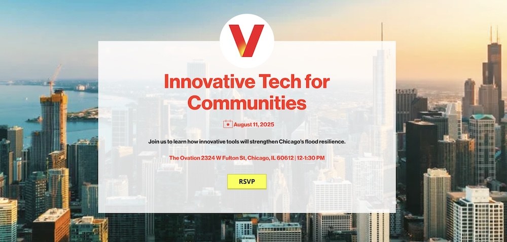
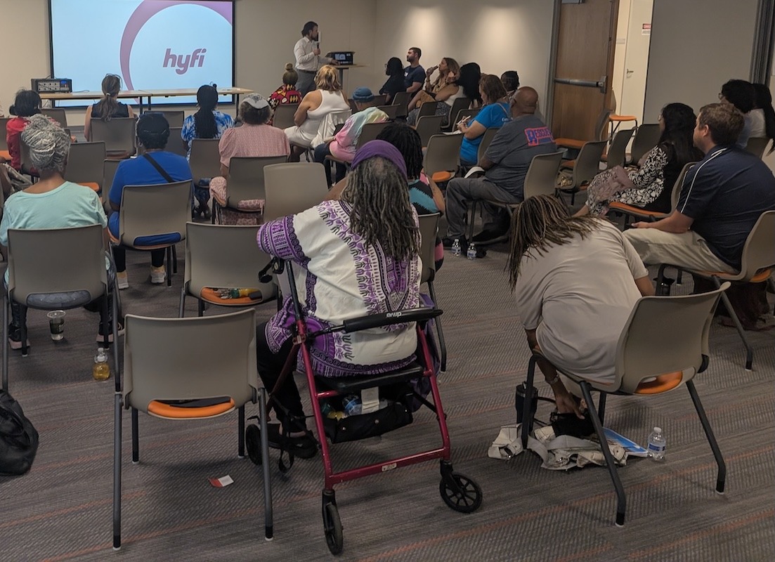
During the second half of the meeting, CNT facilitated a workshop to introduce a Flood Sensor Initiative coming soon to Chicago thanks to Verizon’s Disaster Resilience initiative, part of the company’s corporate social responsibility programming. Verizon is working with communities at risk of flooding around the country to enhance flood resilience.
The Initiative will provide Chicago communities with tools to prepare for, and recover from, floods. The project will use state-of-the-art sensors to track flooding in real-time. Developed by a Michigan-based company Hyfi, the sensors detect water via sonar and transmit data over Verizon’s 5G network to inform more efficient emergency responsiveness and community resilience planning.
CNT is partnering with community-based organizations to host workshops about the initiative to:
-
Introduce communities to the pilot project
-
Receive feedback on the most important places in their neighborhood to locate sensors, and
-
Provide disaster preparedness resources and materials.
Attendees at the Greater Chatham workshop session mapped flooding hotspots and discussed how floods can make walking and driving more difficult. They talked about how community spaces were damaged due to flooding in the past. They also shared a desire to receive more timely and detailed updates from the city during flooding emergencies and to be informed about evacuation sites and emergency supplies.
Chicago is among the first cities around the country to receive support from the program. In New Orleans, where the Hyfi sensors are already deployed, the technology has enabled early flood detection and enabled a new publicly accessible data source for long-term resilience planning.
The new data will help residents and the city respond to flooding, but the benefits can be shared by the whole community. As Greater Chatham Initiative Housing Organizer Ebonee Stevenson pointed out, “Flooding isn’t just a problem for residents — it’s also a major issue for local businesses and emergency services like hospitals and clinics in our community.”
Supporting new approaches to urban flooding
Research by Center for Neighborhood Technology and others has long shown urban flooding is worse in communities of color, due partly to Black and Brown neighborhoods possessing relatively fewer resources, to a legacy of land use decisions relegating these families to areas of greatest risk, and to reduced infrastructure investment in communities with predominantly people of color residents.
There is a need to address urban flooding, not puddle by puddle, but as a problem that requires collective solutions. Historically, urban flooding has been framed as a homeowner issue ("flooded basements") rather than a systemic issue calling for community-wide reforms (placemaking and other community improvement initiatives are good examples). This project aims to support a system-wide approach to address urban flooding through resident and government collaboration.