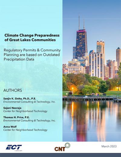
This report examines changing rainfall amounts across five cities in the Great Lakes region and seeks to understand whether the regulatory permits and community planning efforts are aligned with robust and current rainfall estimates. Rainfall amount is a key factor considered in stormwater and sewer infrastructure design and dictates the cost of infrastructure as well as its performance. Over the last few decades, agencies and jurisdictions responsible for infrastructure, including storm and combined sewer infrastructure (much of which was constructed decades ago) have anecdotally reported that event precipitation amounts (“Precipitation Frequency Estimates” or PFEs) have increased significantly. Cities across the region have suffered accordingly. Detroit, for example suffered massive flooding in 2014, 2016, 2019, and 2021, causing economic, environmental, psychological, public health, and financial hardship on residents and businesses. Further, these floods damaged public facilities, museums, and schools across the city. These trends are unfortunately not unique to Detroit, and rampant flooding is now a common occurrence across Great Lakes cities. Finally, forecasts of future event precipitation amounts are significantly more than what they are today, suggesting the impacts of storms and the resulting damages will continue to get worse.
This report’s focus is on Milwaukee (Wisconsin), Chicago (Illinois), Detroit (Michigan), South Bend (Indiana), and Buffalo (New York). For the purposes of analyses, the specific geography for each metro area was defined by the service area of their respective water/wastewater utility/agency.

 Strengthening Transit Through Community Partnerships