Last week, I had a chance to introduce the Center for Neighborhood Technology to two new groups of potential friends and partners.
First, we were visited by a group of Google product managers from across the nation. Many of CNT’s online interactive tools are based on Google Maps, and our conversation quickly focused on how we use these tools to identify and address urban issues. We had innumerable questions for each other: how can we partner to better calculate local transportation-related greenhouse gas emissions? or understand truck travel patterns? or use search results to identify a need for new transportation options? We barely scratched the surface but hope to find some real partnership opportunities.
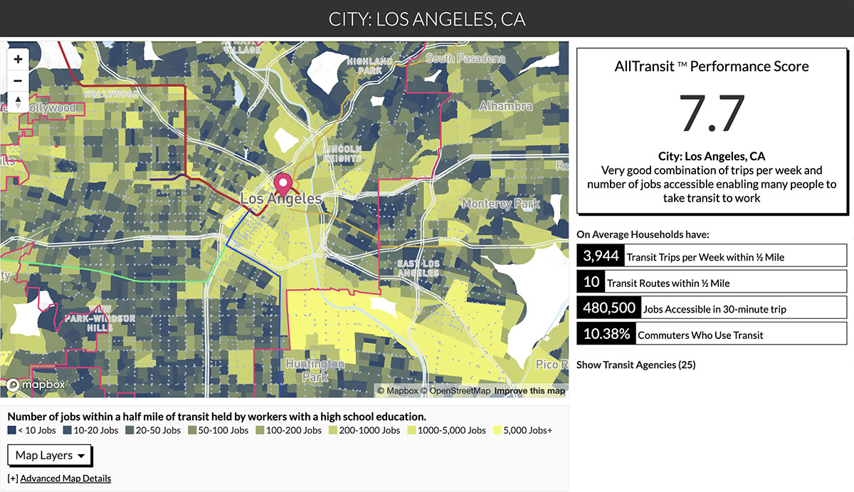
Many of CNT’s products, including AllTransit, use Google Maps as their base.
Second, I had the pleasure of describing CNT’s work on urban flooding to the Information Technology Knowledge and Abilities Network (ITKAN), a network of current and aspiring IT professionals with disabilities. Through this spring, ITKAN and Microsoft have co-sponsored a panel series corresponding to topics in Netflix’s Liquid Science series (hosted by GZA). This one focused on climate and water; former state climatologist Jim Angel and I presented.
The group was struck by the lack of correlation between official floodplain designations and where it actually floods. CNT proved this several years ago in our report, The Prevalence and Cost of Urban Flooding, which demonstrated that 90 percent of flood damage in Cook County occurs outside of mapped floodplains. The group discussed the need to improve our understanding of flood risk and the various methods – from sensor installation to Microsoft’s AI for Earth program – that could help us overcome this barrier.
Thanks to both Google and ITKAN for your interest in working with CNT!

 Strengthening Transit Through Community Partnerships