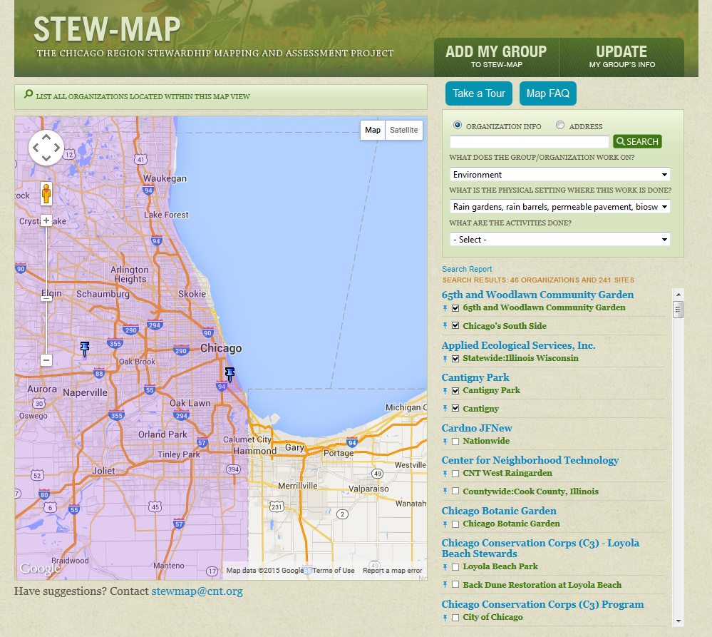
STEW-MAP is part of the Stewardship Mapping and Assessment Project. It maps hundreds of groups doing environmental stewardship work, from green buildings to urban farms to prairie restortation, across the greater Chicago region.
-
Who We Are

-
What We Do
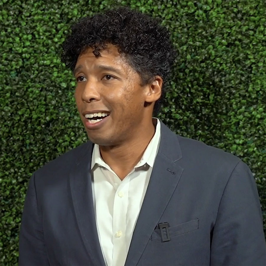
“CNT does things with communities, not to communities.”
~ Chris Wheat, CNT board member
-
Our Work
Project Spotlight
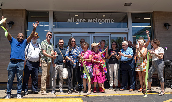
Elevated Works ETOD technical assistance
More than two dozen community-based commercial and housing projects by new or emerging developers are part of the Elevated Works program. -
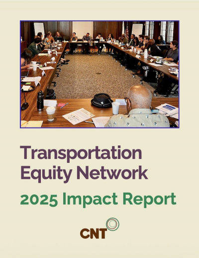
Publications
- Stories